GPS Software
The customer who has to make software or whitelable can contact us
on the number above we have all kinds of software available.
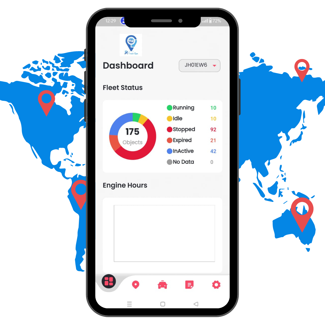
RTrack App
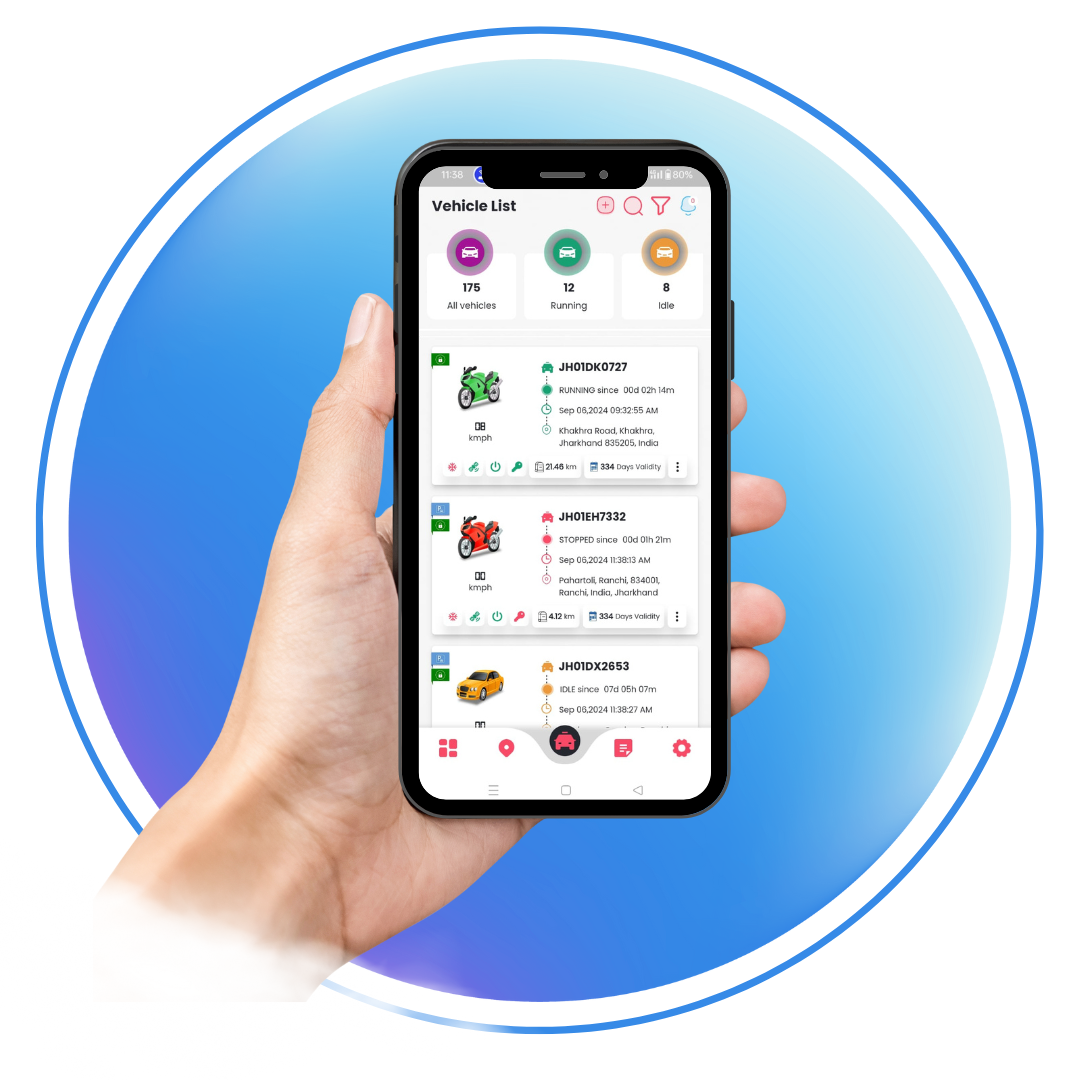
Navilap App
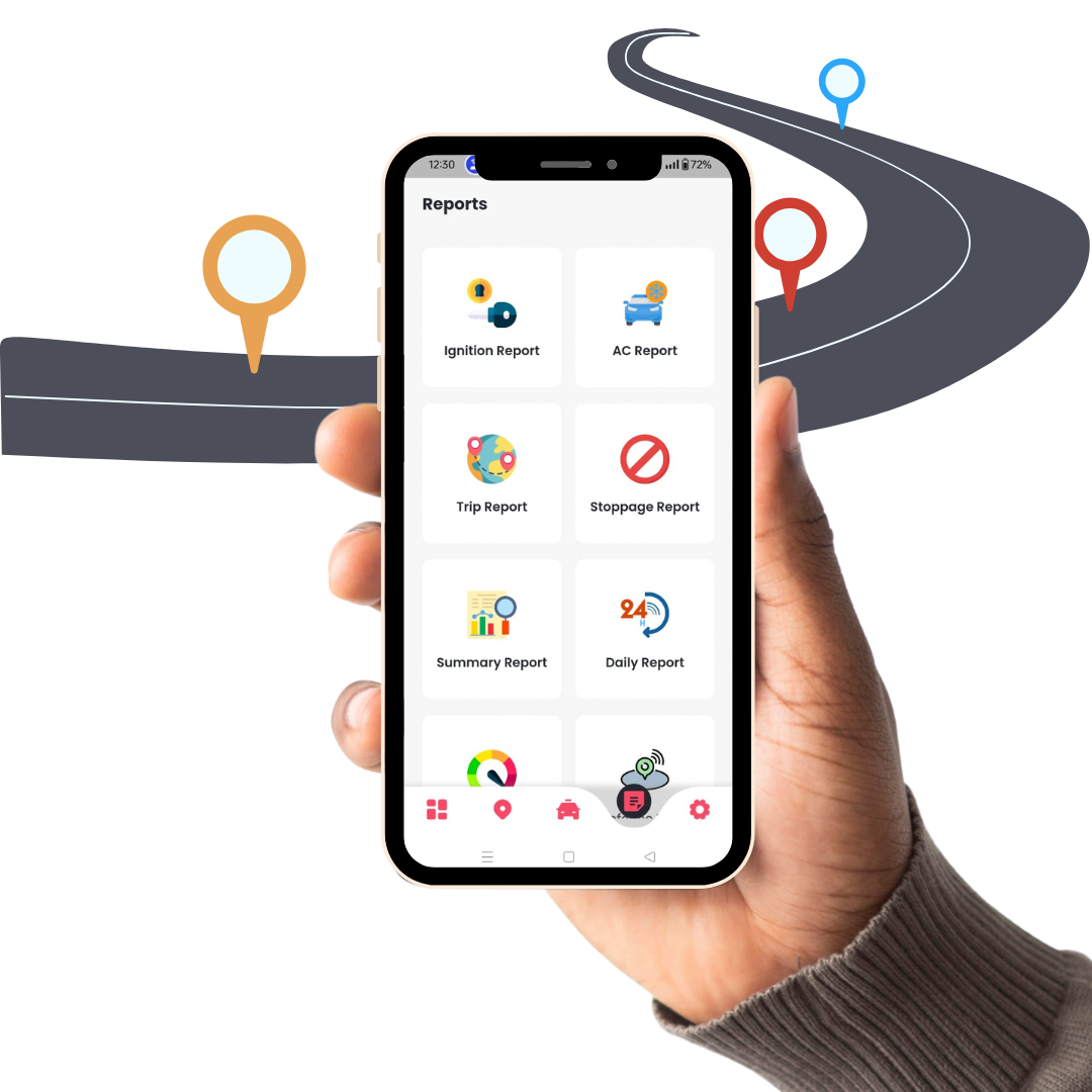
RTrack Eco App
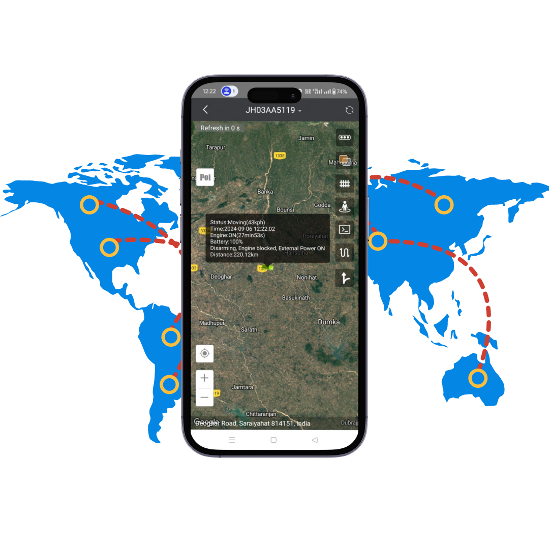
Pro Track App
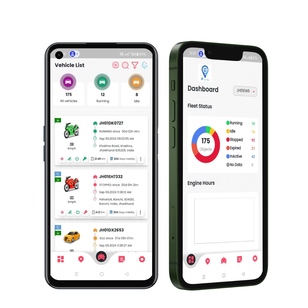
RTrack App
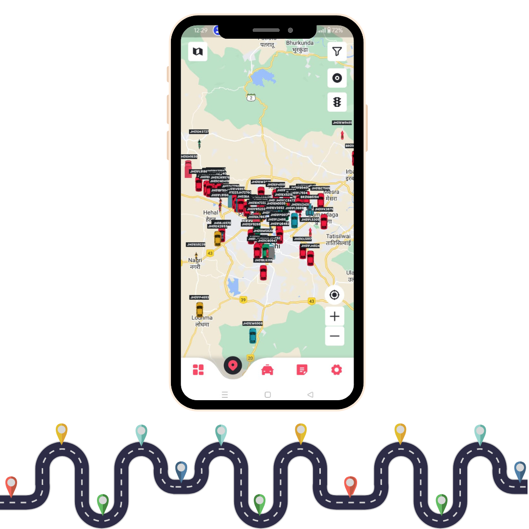
RTrack Go App
What is gps software?
GPS software is used to program, manage, and monitor GPS receivers, radio-navigational devices that provide positional information for objects on Earth based on data transmitted by orbiting satellites. GPS, an acronym for global positioning system, refers to a system of satellites and receivers that allow people and devices to pinpoint their precise location. The entire system relies upon a network of 24 radio-emitting satellites that orbit the Earth twice a day. Ground-based GPS receivers use GPS chips and GPS software to help derive highly-accurate surface coordinates for GIS, mapping, tracking, surveying, and data collection applications. An acronym for geographic information system, GIS is used to combine relational databases with spatial outputs such as maps. Selecting GPS software requires an analysis of specifications, capabilities, and features. Parameters include computer operating system (OS), device type, and GPS receiver type. GPS software is designed for specific operating systems. OS choices include Microsoft Windows, MacOS and PalmOS. With Windows-based GPS software, the OS is often a function of the device type. For example, the Windows XP operating system is designed for personal computers (PCs); however, GPS software for handheld devices may use Windows CE.NET instead. MacOS is the operating system for Apple Macintosh and Macintosh-compatible computers. Palm OS is an operating system for personal digital assistants (PDA) manufactured by multiple licensees. GPS software is also designed for specific types of GPS receivers. GPS software differs in terms of capabilities and features. Some GPS products produce three-dimensional (3D) maps, convert raster images into vector polygons, and display geo-referenced images. Other GPS programs support geo-caching and extract waypoint and route information for subsequent uploads. GPS software for exchanging data between a PC and a GPS receiver is also available. Wireless positioning systems triangulate signals that are broadcast from Wi-Fi acess points and cell towers. Bluetooth-compatible GPS software is also available. GIS surveyors, geologists, cartographers, hikers, drivers, and pilots use GPS software in a variety of mapping, tracking, and surveying applications. GPS programs with integrity management capabilities are used for geospatial risk analysis and to help comply with various federal, state, local, and provincial regulatory requirements. Data loading and management features are used to facilitate the construction, maintenance and repairs of pipelines. GPS software with advanced mapping and reporting capabilities is also available.
Why take software from RTrack company?
In our RTrack company you will get Indian company software this software you will not generate any problem of any kind in the cart live if there is any problem of any kind our RTrack company will cooperate you 24 hr we will have all kind of device live in all kind of software.

